- IMO
- 9358010
- MMSI
- 273291160
- Call Sign
- UBGW2
Technical Specifications
Key Figures
Live Tracking
Current Position
Intelligence
Risk & Sustainability
Operational Status
Activity
Making way at sea speed on its latest broadcast.
Read from the single most-recent AIS broadcast we hold for this hull — we keep no position history, so this is a point-in-time posture, not a dwell inference. Derived in-house from our own AIS feed; weight it by the broadcast age above.
Composite Risk
Risk Score
Multiple adverse factors, or a hard ship-specific signal, lift this hull above the fleet norm.
A coverage-weighted blend of the 4 components we could read for this hull — the weights renormalise over only the components present, so a thin read is never inflated and a hull is never credited a “safe 0” for a signal it has no row for. Higher means riskier. Derived in-house from government-open port-State-control, flag, sanctions and our own vessel data; weight it by the coverage above.
Estimated
Capacity & Classification
Other · summer draught 6.2 m · 26.2 t per cm immersion
Estimate only — modelled from deadweight (deadweight regression) using a first-principles hydrostatic model, not measured hydrostatic tables. The design draught it is anchored to is unreliable across the fleet.
Transparency
Risk signals
Behavioural flags raised against this vessel — each shown with the raw evidence behind it. Derived in-house from data we are entitled to publish; informational, not a determination of wrongdoing.
Stopped transmitting relative to the live feed front
- Feed Front
- Jun 21, 2026
- Gap Days
- 4.4
- Last Fix
- Jun 17, 2026
- On Sanctions List
- yes
- Threshold Days
- 3
Method: gap measured vs the live feed's own max timestamp, not wall-clock. Source: TheMaritime aisstream.io ingest (ais_positions).
Signals are a current-state view: a flag clears once the vessel stops tripping its detector. These are screening indicators, not a substitute for your own due diligence.
Commercial
Voyage Estimate
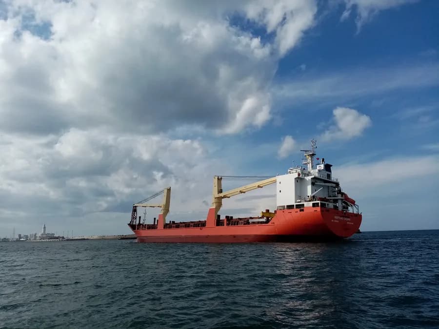
Visual Archive
Gallery
Explore More
Similar Vessels
Community
Vessel Comments