- IMO
- 7826855
- MMSI
- 240698300
- Call Sign
- SVCX5
Technical Specifications
Key Figures
Live Tracking
Current Position
Where it waited most
Most time stopped at Port of Piraeus — 3 d across 10 stays.
- 1Port of Piraeus3 d · 10×
Derived from the AIS track — runs of near-zero speed (anchored, moored or drifting) snapped to the nearest port. Builds up as we observe the vessel.
Intelligence
Risk & Sustainability
- Fuel burned
- 5,566 t
- Technical
- EEXI (32.5 gCO₂/t·nm)
Verified reported figure. Band is peer-relative, not official IMO CII.
- DrapetzonaIn portJul 1, 2026
- Drapetzona0.2 dJun 29, 2026
- Drapetzona0.6 dJun 28, 2026
- Drapetzona0.4 dJun 26, 2026
- Drapetzona0.4 dJun 24, 2026
AIS-derived from our live feed.
Operational Status
Activity
Making way at sea speed on its latest broadcast.
Read from the single most-recent AIS broadcast we hold for this hull — we keep no position history, so this is a point-in-time posture, not a dwell inference. Derived in-house from our own AIS feed; weight it by the broadcast age above.
Port calls
6 recent · AIS-detectedArrivals, time in port and the load/discharge inferred from the draught change — detected from AIS track history. An open call means the vessel is still in port (no departure observed yet).
- no cargo change→ · 5 h in port· draught 4.7→4.7 m
- no cargo change→ · 14 h in port· draught 4.7→4.7 m
- no cargo change→ · 10 h in port· draught 4.7→4.7 m
- no cargo change→ · 9 h in port· draught 4.7→4.7 m
- op. unknownIn port since
- no cargo change→ · 11 h in port· draught 4.7→4.7 m
Method: each call is a run of fixes inside a port’s geofence confirmed by a stop (or an AIS gap); load/discharge is the sign of the draught delta over the call. Indicative — arrivals before our AIS history began read from the first observation.
Where it waits
1 port · 2.1 days totalTime-in-port summed by port from the AIS-detected port-call history — the ports this vessel has spent the most time at, longest first.
- Drapetzona· Greece2.1 days5 calls · 10 h avg
Based on 5 completed calls observed since — open calls (no departure yet) are excluded. The distribution sharpens as AIS history accrues.
Composite Risk
Risk Score
Strong, corroborated adverse evidence — a detention, sanctions exposure or a dark-fleet signal.
A coverage-weighted blend of the 2 components we could read for this hull — the weights renormalise over only the components present, so a thin read is never inflated and a hull is never credited a “safe 0” for a signal it has no row for. This headline is flagged low-confidence (a thin or structural-only read) and should not be treated as a verdict. Higher means riskier. Derived in-house from government-open port-State-control, flag, sanctions and our own vessel data; weight it by the coverage above.
Commercial
Voyage Estimate
Fleet Management
Ownership & Management
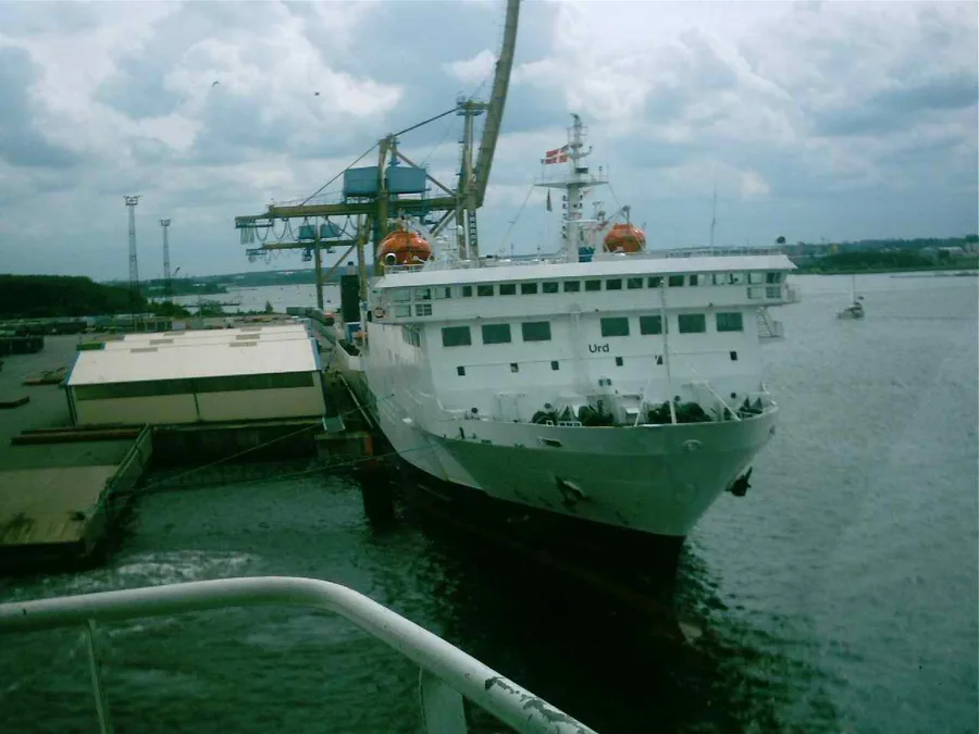
Visual Archive
Gallery
Explore More
Similar Vessels
Community
Vessel Comments