- IMO
- 9673850
- MMSI
- 538005278
- Call Sign
- V7CK9
Technical Specifications
Key Figures
Intelligence
Risk & Sustainability
- AER (CO₂/capacity·nm)
- 11.3
- Fuel burned
- 5,200 t
- Technical
- Not Applicable
Verified reported figure. Band is peer-relative, not official IMO CII.
Compliance
Safety Record
- COLLISION - Struck by vesselModerateJan 24, 2016Charles Island, Hudson Strait, QC, QUEBEC (QC)
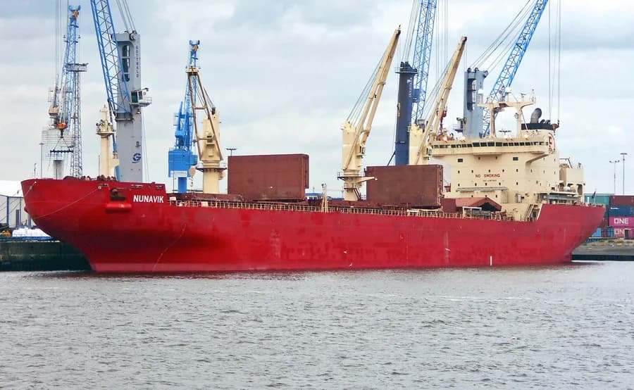
On 24 January 2016, the bulk carrier "ARCTIC" collided with the bulk carrier “NUNAVIK” while being escorted in ice, near the entrance of Deception Bay, Hudson Strait QC. There were no injuries or pollution reported; both vessels sustained damages.
- NOT INVOLVEDModerateJan 20, 2016Deception Bay, QC, QUEBEC (QC)
On 20 January 2016, the OBO vessel "ARCTIC" reported a release of motor oil and methanol into 2 of its cargo holds during harsh sea conditions. The vessel was escorted by the bulk carrier "NUNAVIK" towards the dock in the Deception Bay, QC.
Recorded marine occurrences naming this vessel.
Composite Risk
Risk Score
Some elevated factors — typically age or a lower-graded flag — but no acute ship-specific flag.
A coverage-weighted blend of the 2 components we could read for this hull — the weights renormalise over only the components present, so a thin read is never inflated and a hull is never credited a “safe 0” for a signal it has no row for. This headline is flagged low-confidence (a thin or structural-only read) and should not be treated as a verdict. Higher means riskier. Derived in-house from government-open port-State-control, flag, sanctions and our own vessel data; weight it by the coverage above.
Estimated
Capacity & Classification
Other · summer draught 8.4 m · 49.3 t per cm immersion
Estimate only — modelled from deadweight (deadweight regression) using a first-principles hydrostatic model, not measured hydrostatic tables. The design draught it is anchored to is unreliable across the fleet.
Commercial
Voyage Estimate
Visual Archive
Gallery
Explore More
Similar Vessels
Community
Vessel Comments