- IMO
- 9020417
- MMSI
- 236669000
- Call Sign
- ZDPF8
Technical Specifications
Key Figures
Live Tracking
Current Position
Resolved from the live AIS destination. Distance is the real sea route (around land and through canals); the computed ETA is at the vessel’s passage speed. A destination is the crew’s stated intent, not a confirmed fixture.
Intelligence
Risk & Sustainability
This ship has no verified emissions report. We estimate a band E from its segment, size and age (80% confidence).
Estimate, not a reported figure. Within one band 95% of the time on reported peers.
Operational Status
Activity
Making way at sea speed on its latest broadcast.
Read from the single most-recent AIS broadcast we hold for this hull — we keep no position history, so this is a point-in-time posture, not a dwell inference. Derived in-house from our own AIS feed; weight it by the broadcast age above.
Port calls
2 recent · AIS-detectedArrivals, time in port and the load/discharge inferred from the draught change — detected from AIS track history. An open call means the vessel is still in port (no departure observed yet).
- Loaded→ · 17 h in port· draught 5.4→6.3 m
- no cargo change→ · 3 h in port· draught 5.3→5.4 m
Method: each call is a run of fixes inside a port’s geofence confirmed by a stop (or an AIS gap); load/discharge is the sign of the draught delta over the call. Indicative — arrivals before our AIS history began read from the first observation.
Where it waits
2 ports · 20 h totalTime-in-port summed by port from the AIS-detected port-call history — the ports this vessel has spent the most time at, longest first.
Based on 2 completed calls observed since — open calls (no departure yet) are excluded. The distribution sharpens as AIS history accrues.
Composite Risk
Risk Score
Multiple adverse factors, or a hard ship-specific signal, lift this hull above the fleet norm.
A coverage-weighted blend of the 2 components we could read for this hull — the weights renormalise over only the components present, so a thin read is never inflated and a hull is never credited a “safe 0” for a signal it has no row for. This headline is flagged low-confidence (a thin or structural-only read) and should not be treated as a verdict. Higher means riskier. Derived in-house from government-open port-State-control, flag, sanctions and our own vessel data; weight it by the coverage above.
Estimated
Capacity & Classification
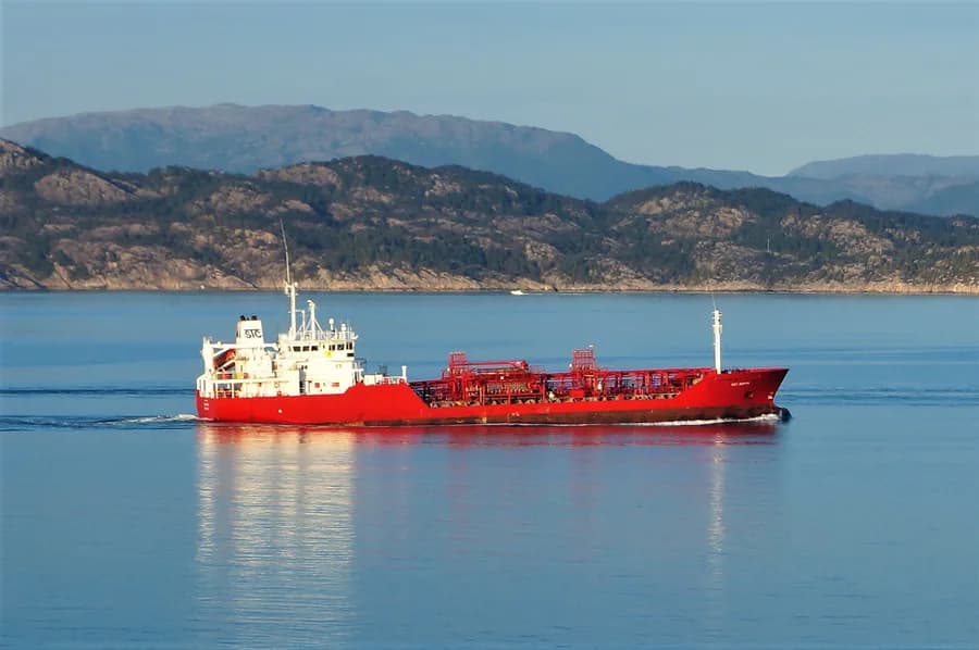
Tanker · summer draught 4.7 m · 10.4 t per cm immersion
Estimate only — modelled from deadweight (hull geometry) using a first-principles hydrostatic model, not measured hydrostatic tables. The design draught it is anchored to is unreliable across the fleet.
density DWT/GT=1.42 is consistent with declared tanker
Declared type is consistent with the class implied by the vessel’s size signals. Inferred via our shared size-based classifier.
Commercial
Voyage Estimate
Visual Archive
Gallery
Explore More
Similar Vessels
Community
Vessel Comments